VATprism

VATprism is a VATSIM Map and VATSIM Data Explorer, VATSIM being the Virtual Air Traffic Simulation Network. VATprism allows users to explore available ATC services, connected pilots, Airports, Flight and Upper Information Regions and more!
View the Project on GitHub marvk/vatprism
Index
Usage Guide
Frequently Asked Questions
Troubleshooting
Streamers


Download
Latest: v0.3.6 (2025-04-18 20:37:35 UTC)
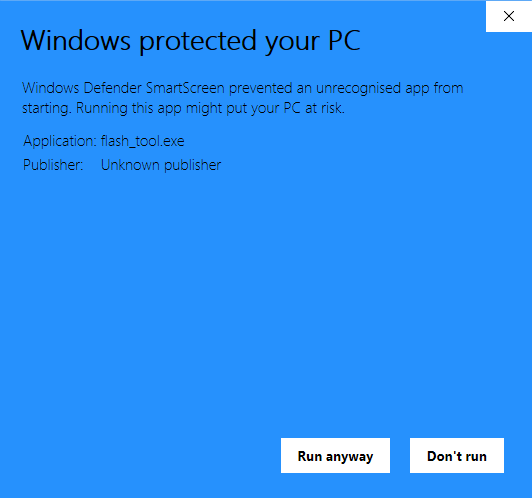
Download Installer (Windows x64)
Note: Windows Defender SmartScreen might show a warning about the installer not being a recognized app. This is harmless and simply an issue of the installer being unsigned.
Download Installer (macOS)
Note: Please read this section of the readme in case you run into issues with the macOS release of VATprism.
Download Source
Note: Please read this section of the readme for instructions on how to compile VATprism.
Why VATprism?
VATprism has been build from the ground up to offer a no-fuss experience into the world of VATSIM data. VATprism makes it easy to find Flights, Airports and other Data and navigate between that data. It offers fully customizable color schemes, allowing you to adjust the interface colors to your liking. VATprism also allows you to create an unlimited amount of filters, marking flights you are interested in with any color you prefer.
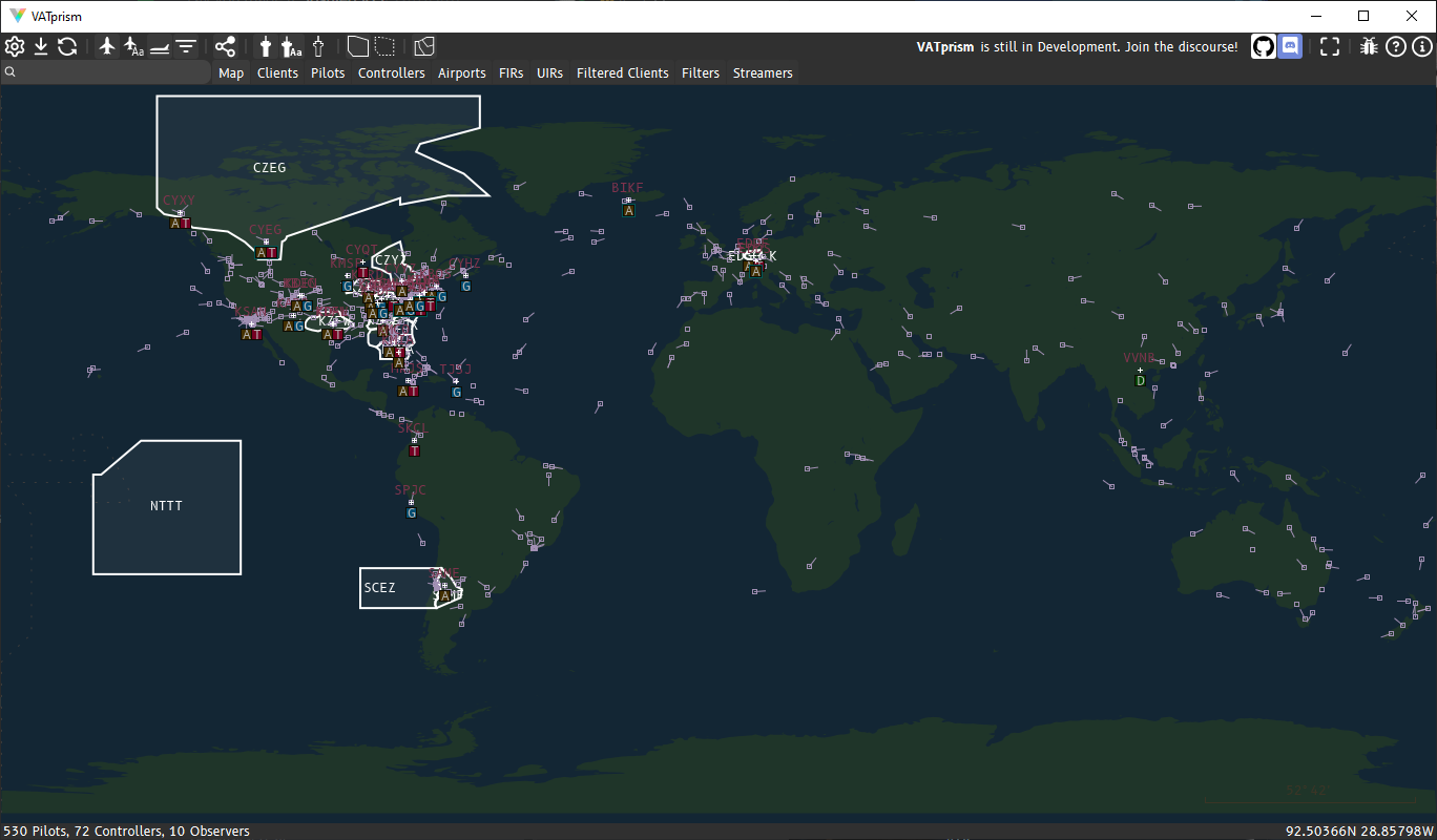
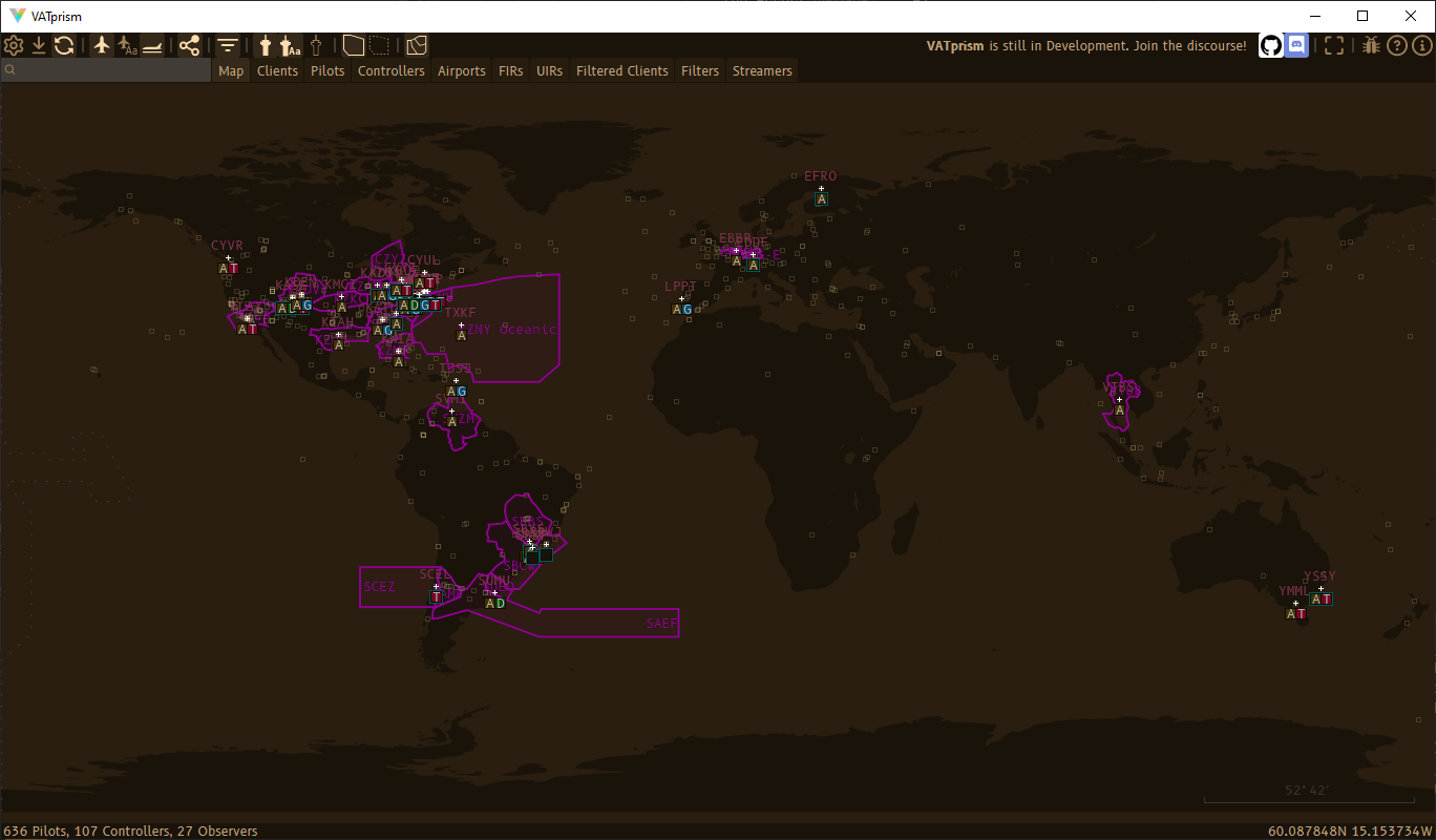
Showcase
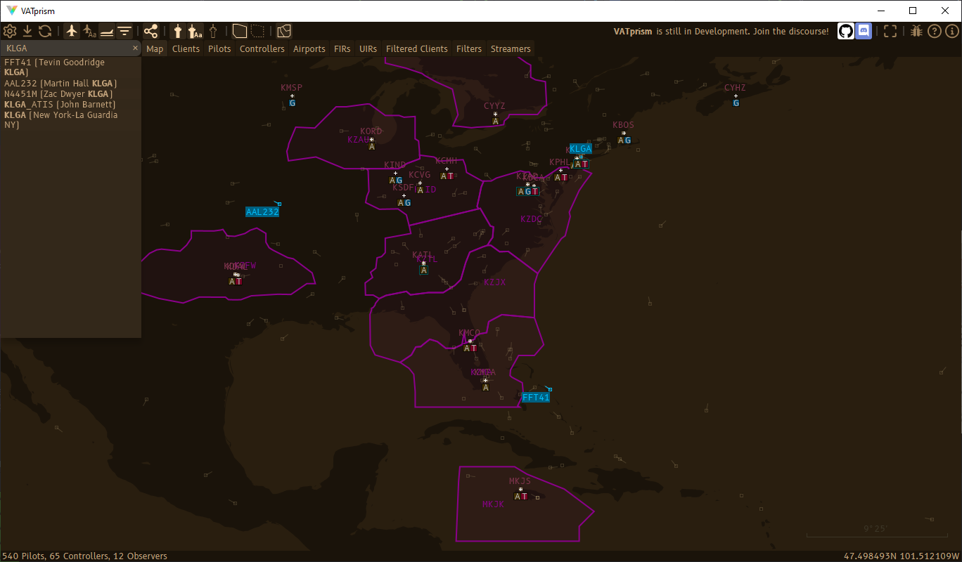
Detail Views
VATprism allows you to simply click on any data displayed on the map: airports, flights, controllers and FIRs. This brings up a detailed overview of the item that is easily navigable by clicking on any provided links.
Airports
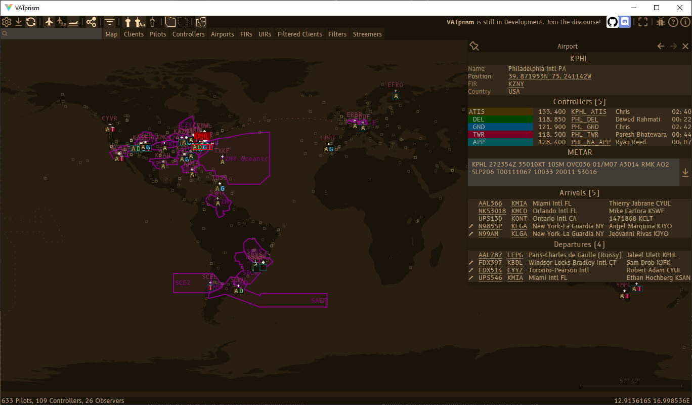
See airport location, active controllers, metar, arrivals and departures!
Controllers
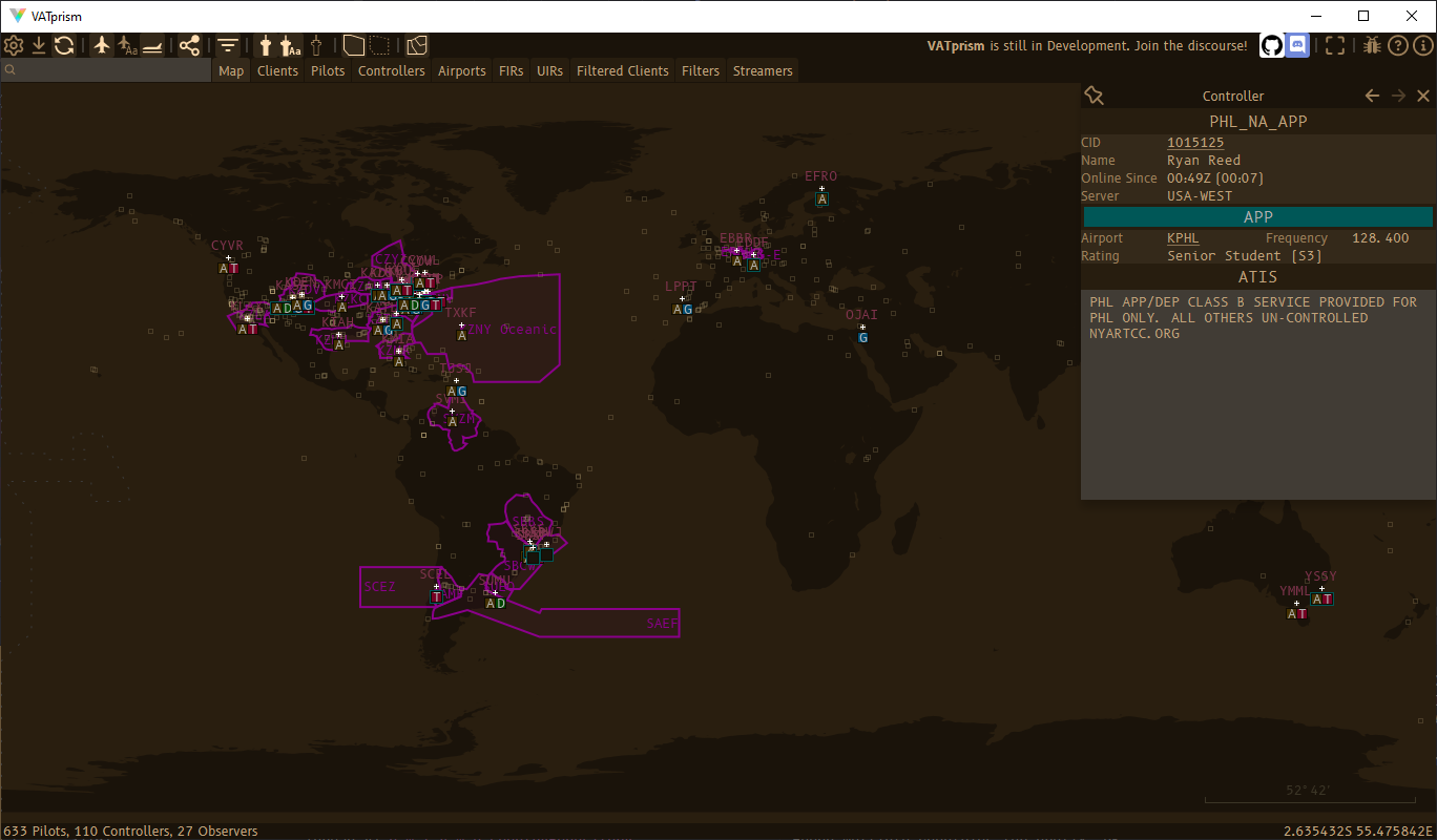
Displays controller information, location and their atis.
Pilots
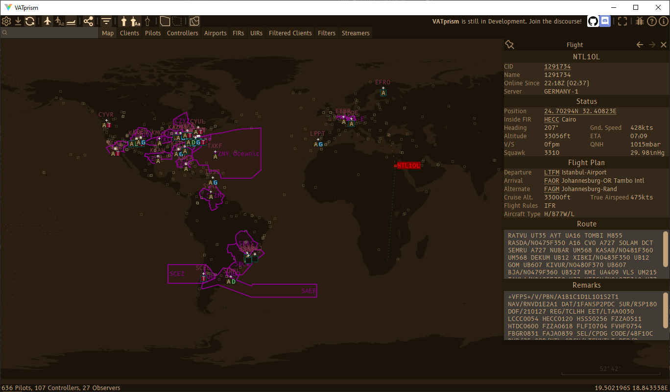
See a pilots’ information, location including vertical speed and ETA, and flight plan including route and remarks and if they are streaming on Twitch.
FIRs
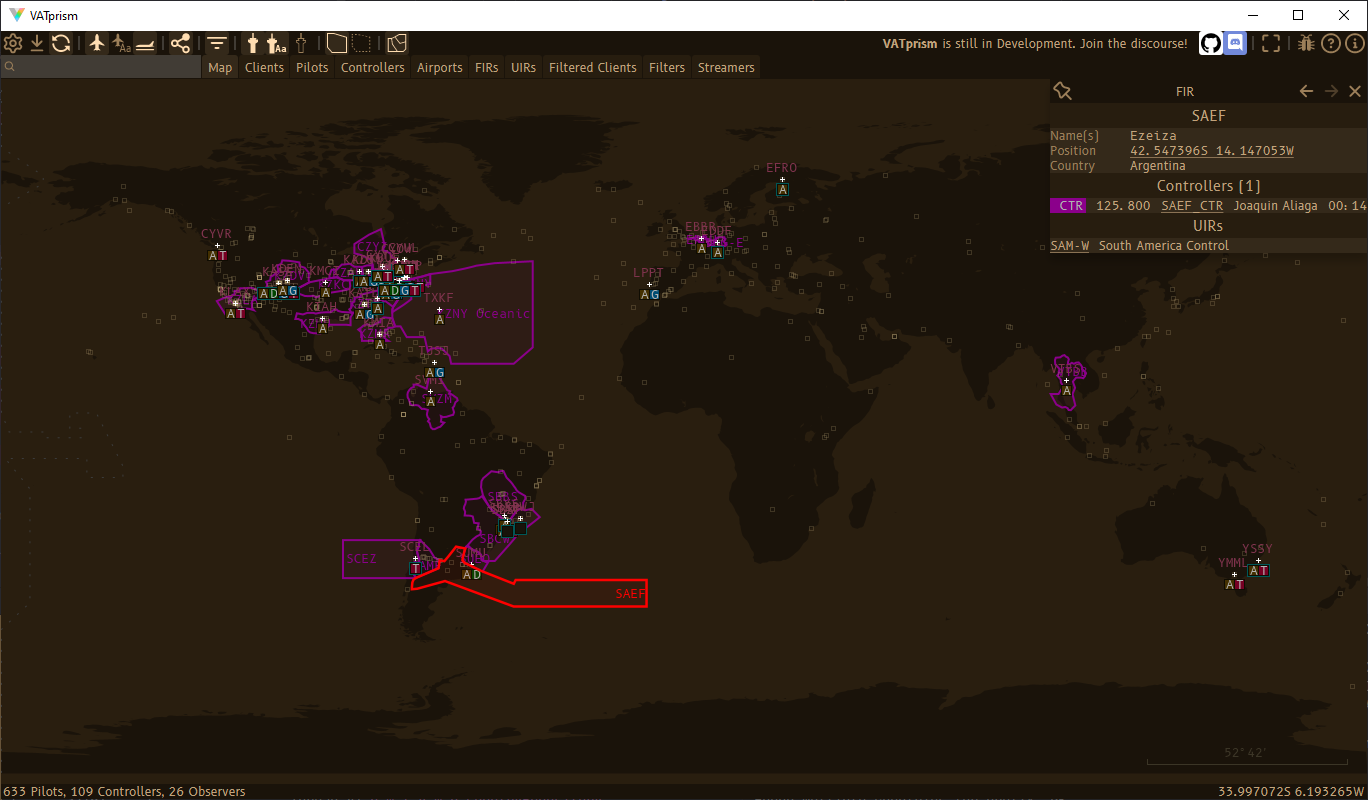
Quickly check all controllers assigned to the FIR, including better FIR matching for controller callsigns with infixes, such as EDDG-E and EDDG-P.
Tables
VATprism includes a number of tables showing all kinds of network data. Pilots, Controllers, Airports, FIRs, UIRs and more!
Airports
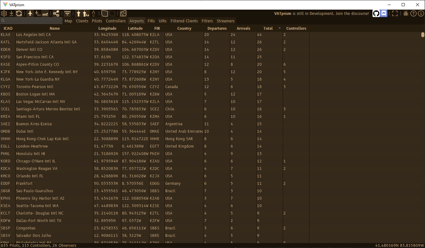
Show all airports with the number of incoming and outgoing flights and number of connected controllers.
Controllers
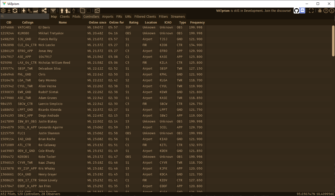
See all controllers, including observers, with their location, rating and frequency.
Pilots
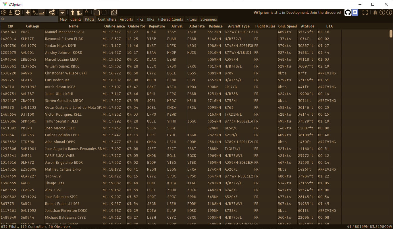
Lists all connected pilots with all kinds of data, including ETA, ground speed and altitude. Want to find the fastest or highest plane on the network? The longest flight? The flight that has been connected the longest? No problem!
Streamers
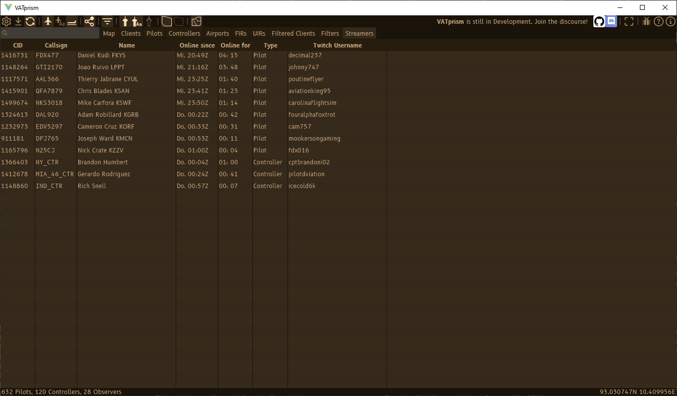
Want to find a VATSIM stream to watch? This table lists all users that have included a link to their twitch stream in their remarks. Want to make sure you show up here when you’re streaming?
Distance Measure
Measure distance between any two positions on the map, with an optional approximate duration calculated from an adjustable ground speed.
Filters
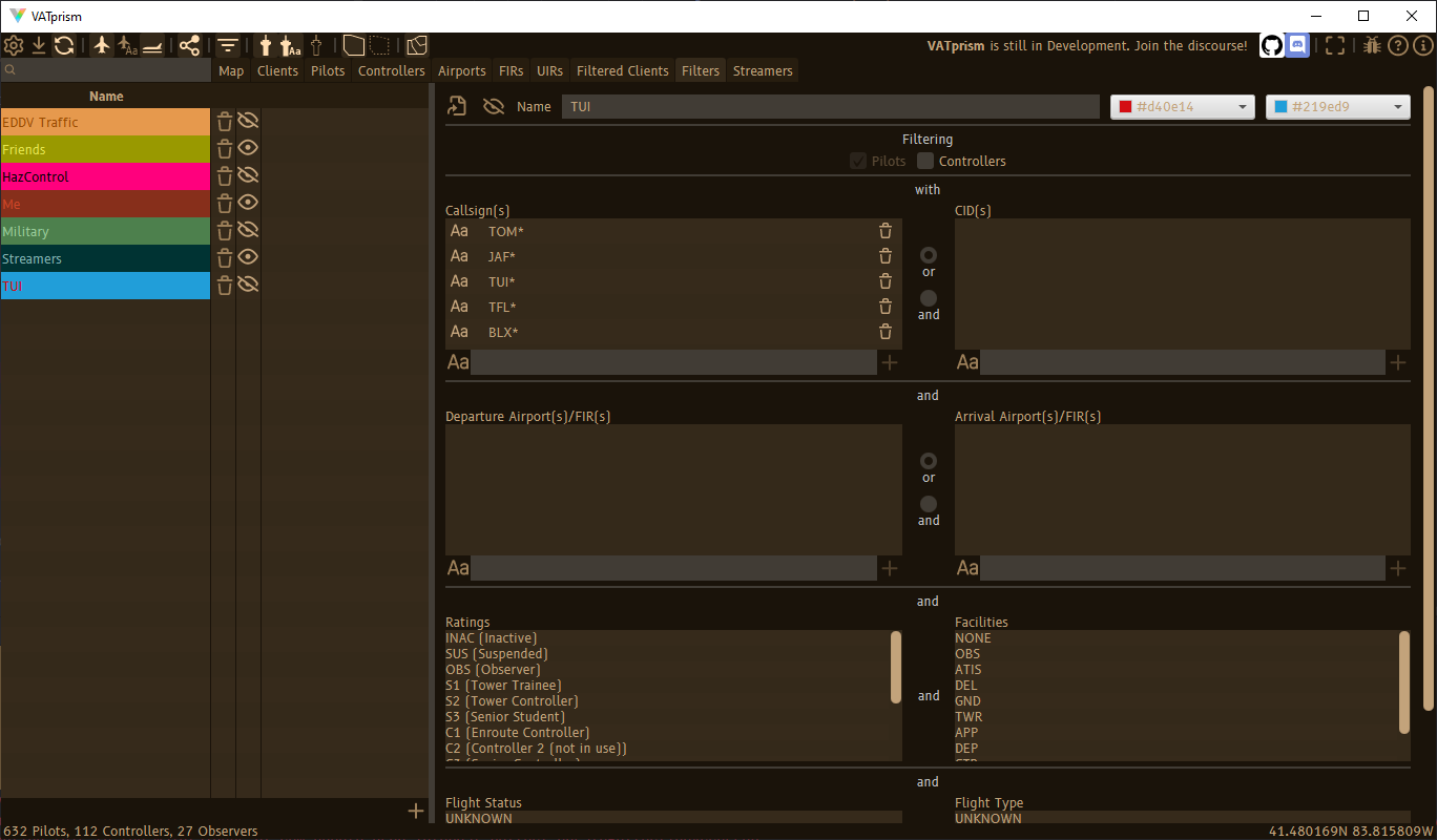
Create an infinite amount of filters, filtering callsigns, CIDs, departure and arrival airports and much more, including custom map colors. Filters are also disableable, and may be shared as a .json file.
Full Text Search
VATprism supports full text search, making it easy to search for airport names, ICAO codes, client names and more.
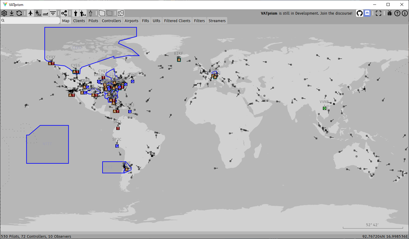
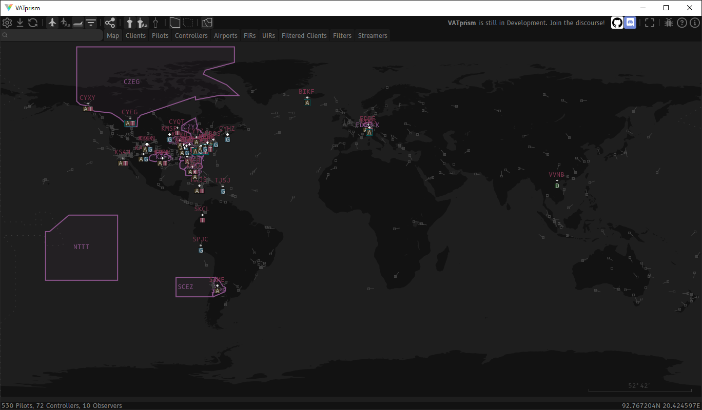
Color Schemes
VATprism allows you to customize every color drawn on the map individually. This gives you all the control you need to customize the look of your VATprism map. Dark, light, colorful or muted, or anything in between. Anything is possible!
Longing for the tried and trusted?
Dark
or Light?
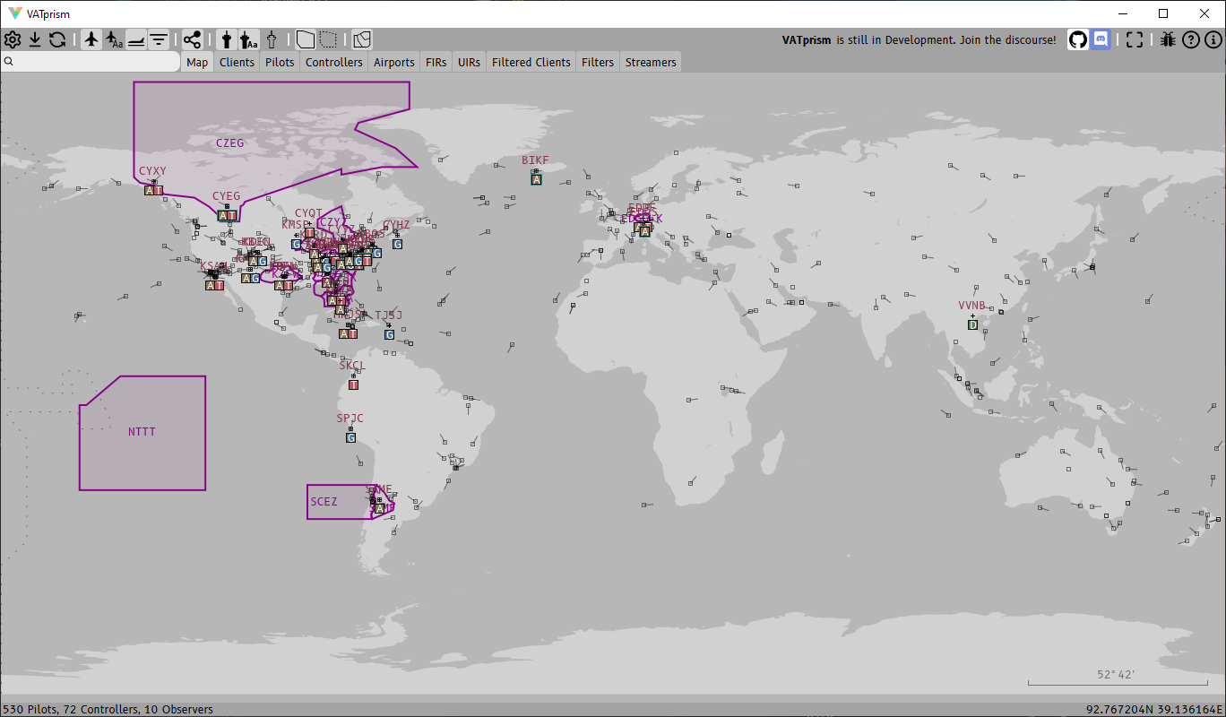
Basically Google Maps